
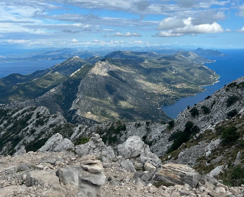
FAQ Hicking Sv.Ilija Pelješac
Most frequent questions and answers
Elevation: 961 meters (3,153 feet) above sea level.
Duration: The climb typically takes 3 to 4 hours uphill and 2.5 to 3 hours downhill, depending on your starting point and fitness level. Expect a full-day commitment of around 6–7 hours total.
Velo Karmen (near Orebić): The most popular and well-marked standard route.
Ruskamen (Orebić upper road): A slightly steeper, direct climb.
Urkunići / Bilopolje: Starts near the Franciscan Monastery above Orebić.
Gornja Nakovana: A longer, more gradual ascent from the western inland plateau.
The trail is rated moderate to challenging. While it does not require technical rock climbing skills, it is a continuous, steep incline over loose scree, rocky terrain, and open limestone. A good level of basic fitness and sure-footedness are required.
Yes, the primary routes are clearly marked with red-and-white trail blazes (mountaineering circles/stripes) maintained by the local mountain rescue and hiking clubs. However, staying on the main paths is essential, as off-trail navigation can quickly lead to dense brush or steep drops.
Spring (April to June) and Autumn (September to October) offer ideal temperatures and lower humidity. Hiking in July and August can be dangerous due to extreme heat, full sun exposure, and high risk of heatstroke.
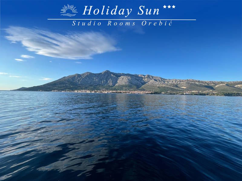
The top offers 360-degree panoramic views of the Adriatic Sea, the island of Korčula directly across the channel, Hvar, Mljet, Lastovo, the Pelješac vineyards, and on clear days, the mainland Dinaric Alps and Italy’s coastline. You’ll also find the ruins of the 19th-century chapel of St. Elijah at the peak.